



A major transport review covering the Northern Beaches is open for public feedback, triggering a fierce local push to get a metro rail line to Dee Why and Brookvale onto the dynamic planning agenda for the first time.
The Northern Beaches Network Review examines how the peninsula’s main road and public transport networks are performing. The official scope targets five key arterial corridors: Mona Vale Road, Warringah Road, Military and Spit roads, Pittwater Road, and the Pacific Highway.
But local community advocates, business groups, and regional leaders are hitting back, warning that the official strategy focuses too heavily on short-term fixes while ignoring the massive structural changes the peninsula desperately needs.
The case for metro rail
The Northern Beaches still has no rail connection. Buses and private cars fight for space on the same gridlocked corridors, and while the B-Line has made a massive dent in transit times since launching in late 2017, the network is hitting its absolute ceiling.
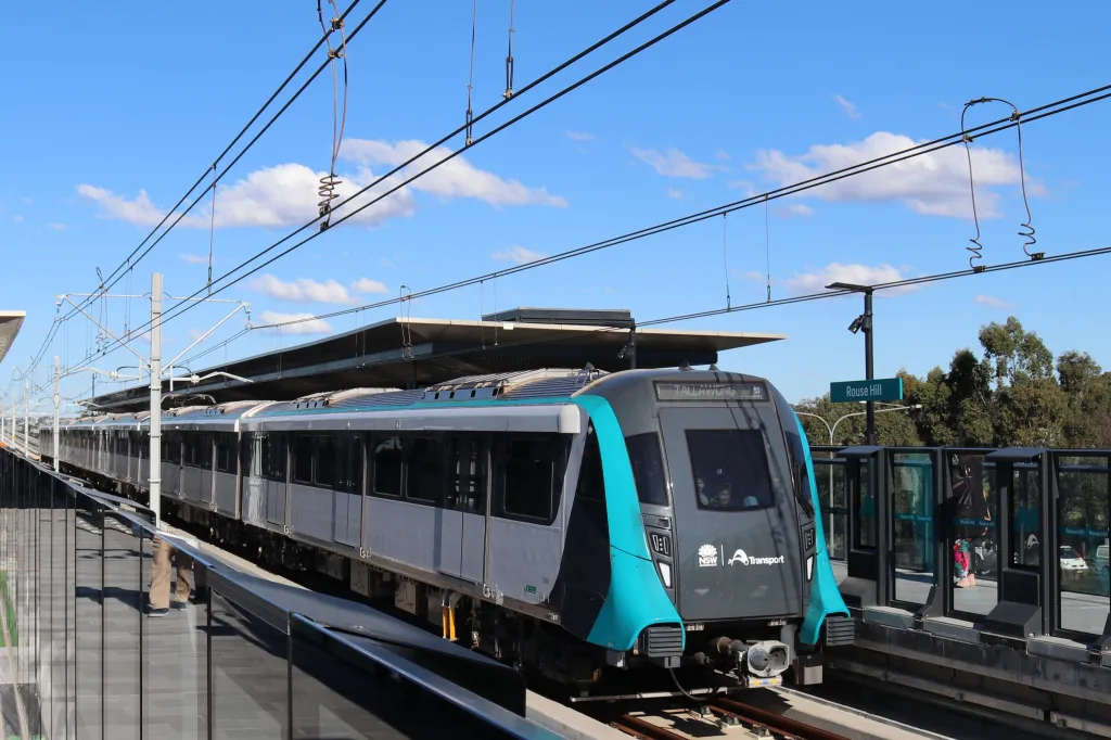
A formal community backlash is now gathering momentum, demanding that planners fast-track the “investigation of a mass transport solution such as a Metro rail to Dee Why and Brookvale” before the region bottlenecks completely.
Local submissions are also calling for aggressive bus priority upgrades north of Mona Vale, grade-separated cycleways, and immediate engineering fixes for notorious intersection logjams that the current official review largely glides over.
For Dee Why commuters heading south to the CBD, daily trips remain an exercise in frustration due to shifting bus reliability and relentless Pittwater Road gridlock. The notorious Officeworks intersection in Dee Why stands out as a prime pain point in local feedback.
What is currently on the table?
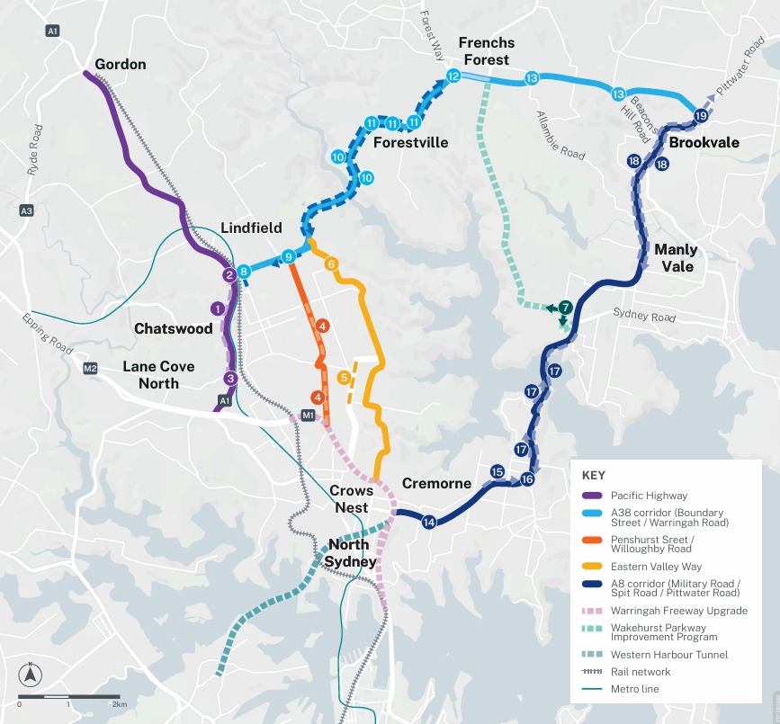
The official review sticks to practical, medium-term adjustments. Key proposals include an east-west B-Line link connecting Dee Why to Chatswood’s existing Metro station, alongside stronger bus priority lanes along Pittwater, Military, and Spit roads.
Several major road upgrades are also rolling out across the region simultaneously:
- Mona Vale Road West: Detailed design work and site investigations are moving forward to widen a 3.4-kilometre stretch from two lanes to four between Terrey Hills and Ingleside, which includes a new northern shared path.
- Wakehurst Parkway: Safety works, intersection upgrades, and flood mitigation projects are progressing between Frenchs Forest Road and Pittwater Road in North Narrabeen.
While these projects offer welcome relief, residents argue they are minor Band-Aids on a much larger systemic problem.
Density is coming, and the roads aren’t ready
The clock is ticking for the peninsula’s transport infrastructure. High-density residential zoning is ramping up across major hubs, with Mona Vale, Frenchs Forest, Brookvale, and Dee Why all locked in as designated growth zones. New planning reforms mean developments can now scale up to six storeys along these transit corridors.
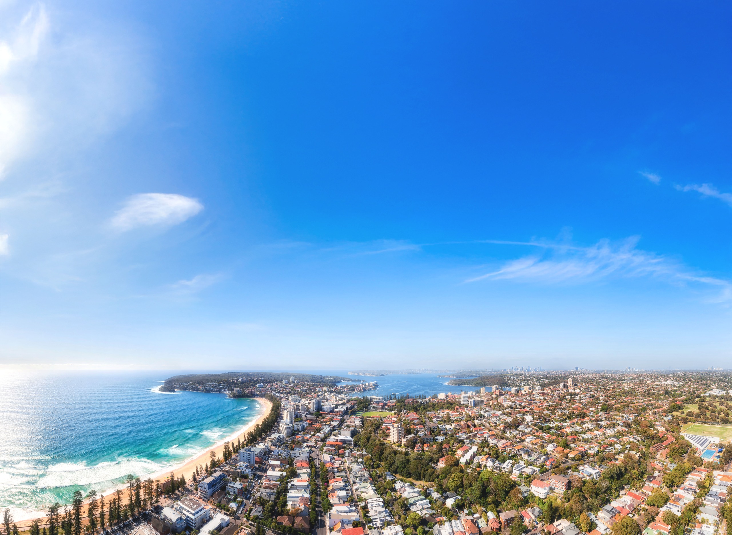
Locals are warning that piling thousands of new residents into these areas without heavy mass transit infrastructure will completely paralyze local roads. The message from community leaders to infrastructure planners is clear: critical enabling infrastructure must pave the way for density, not trail behind it by a decade.
Tinkering around the edges simply will not cut it anymore when there are only a few bottleneck roads in and out of the peninsula.
Have your say by June 15
The community feedback window has been extended to Monday, 15 June 2026, to give residents more time to log their experiences. Locals can pinpoint exact problem intersections or congested corridors using the interactive map on the official Have Your Say platform, complete a travel survey, and download the full 30-page summary report.
To submit your feedback online, head to NSW Gov before the June 15 deadline.
Published 29-May-2026